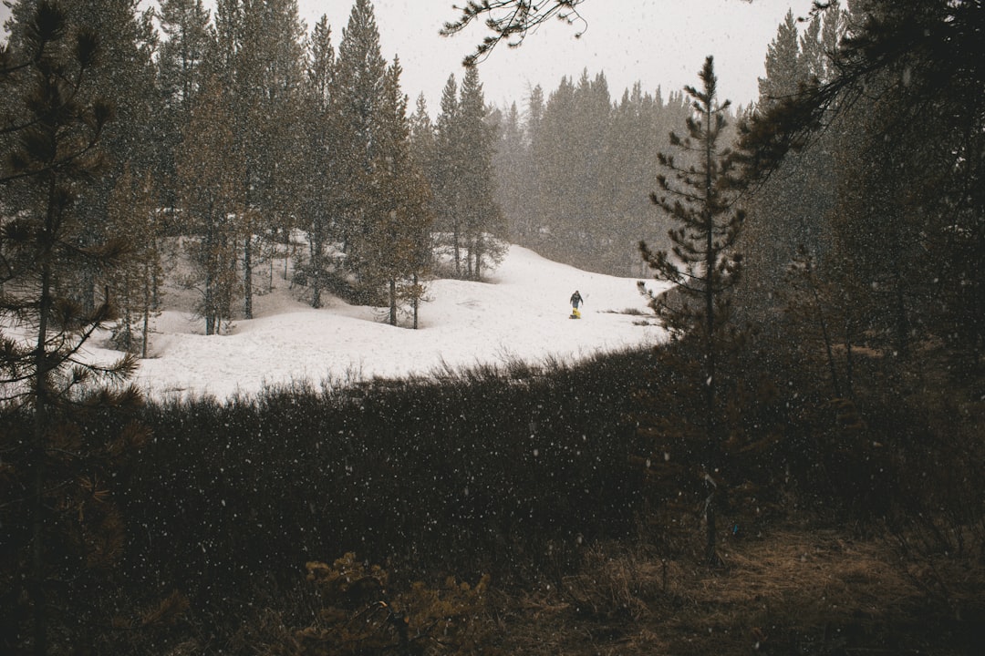
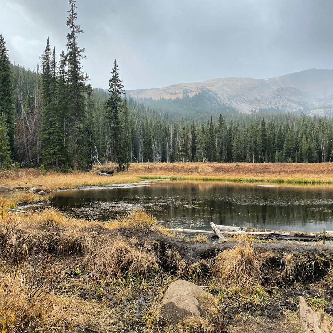
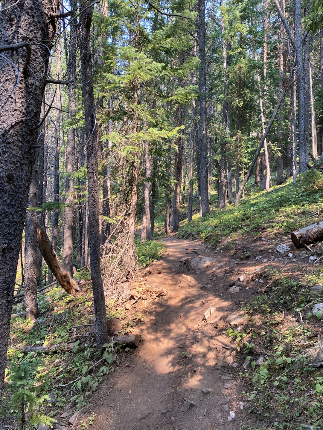
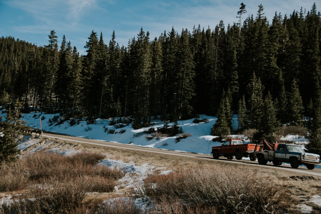
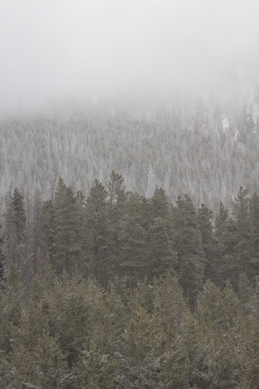
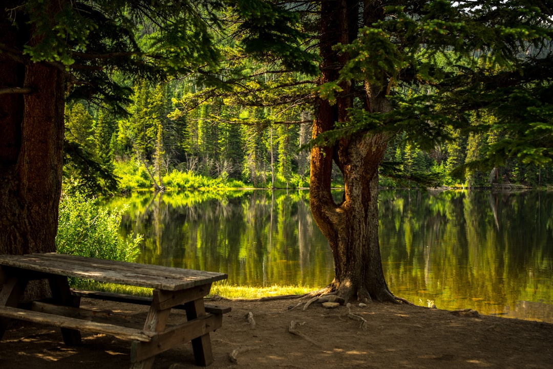
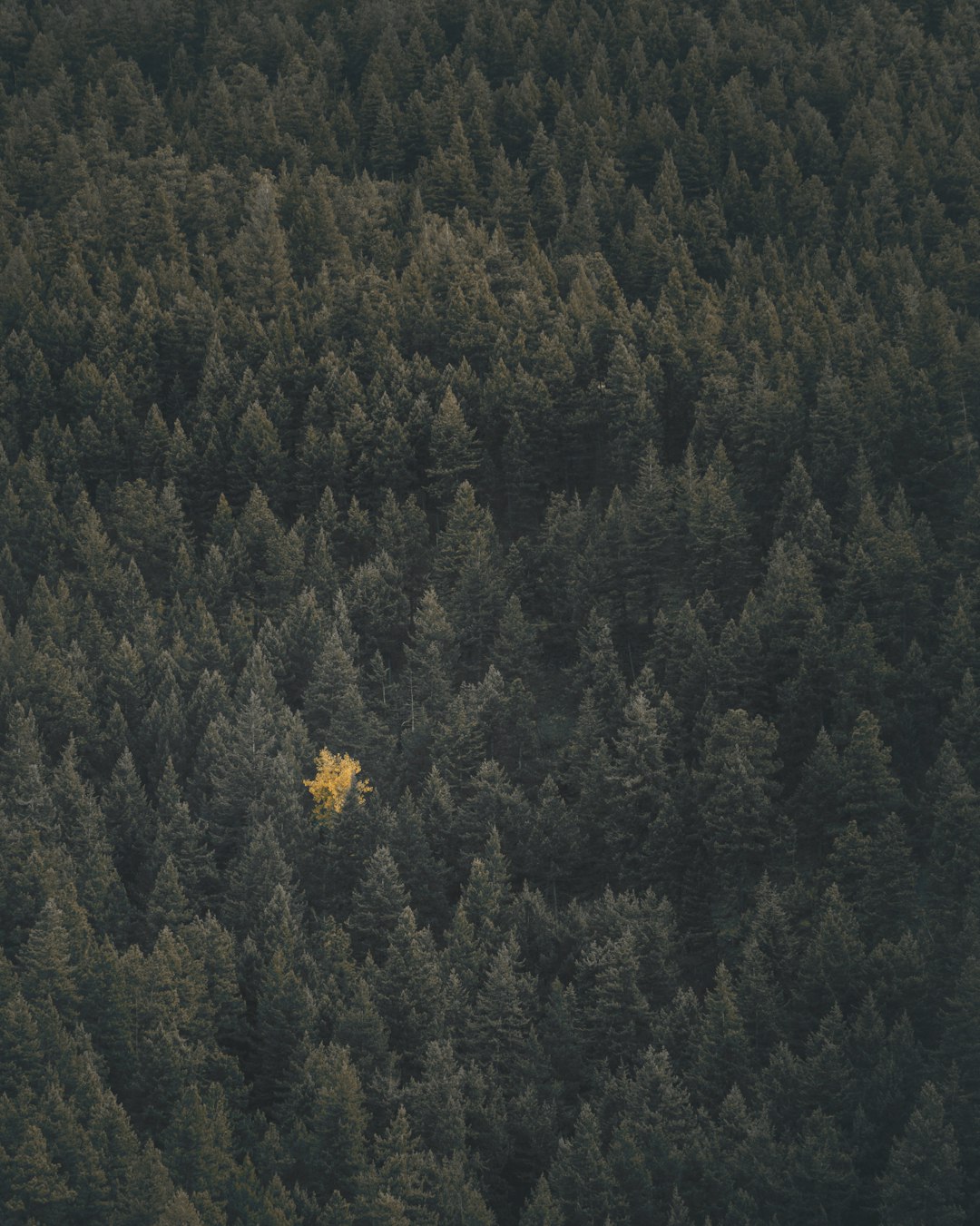
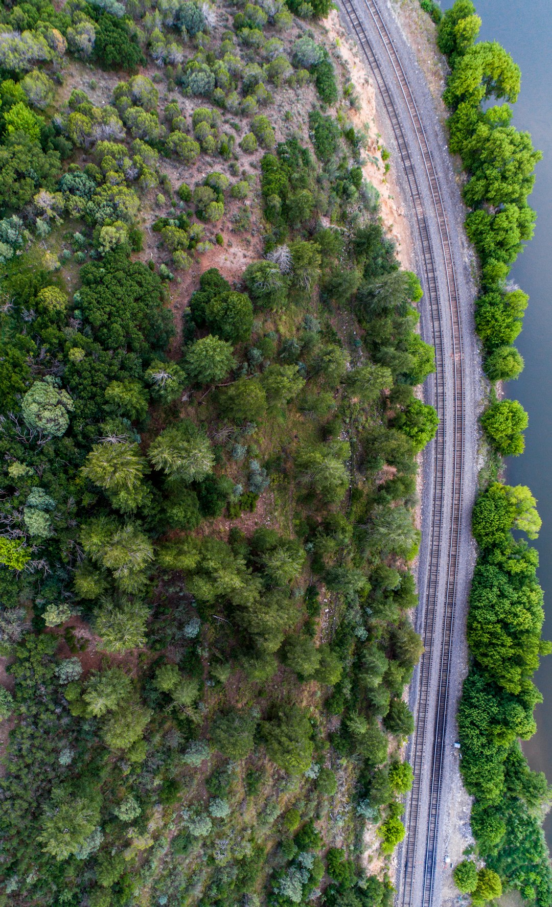
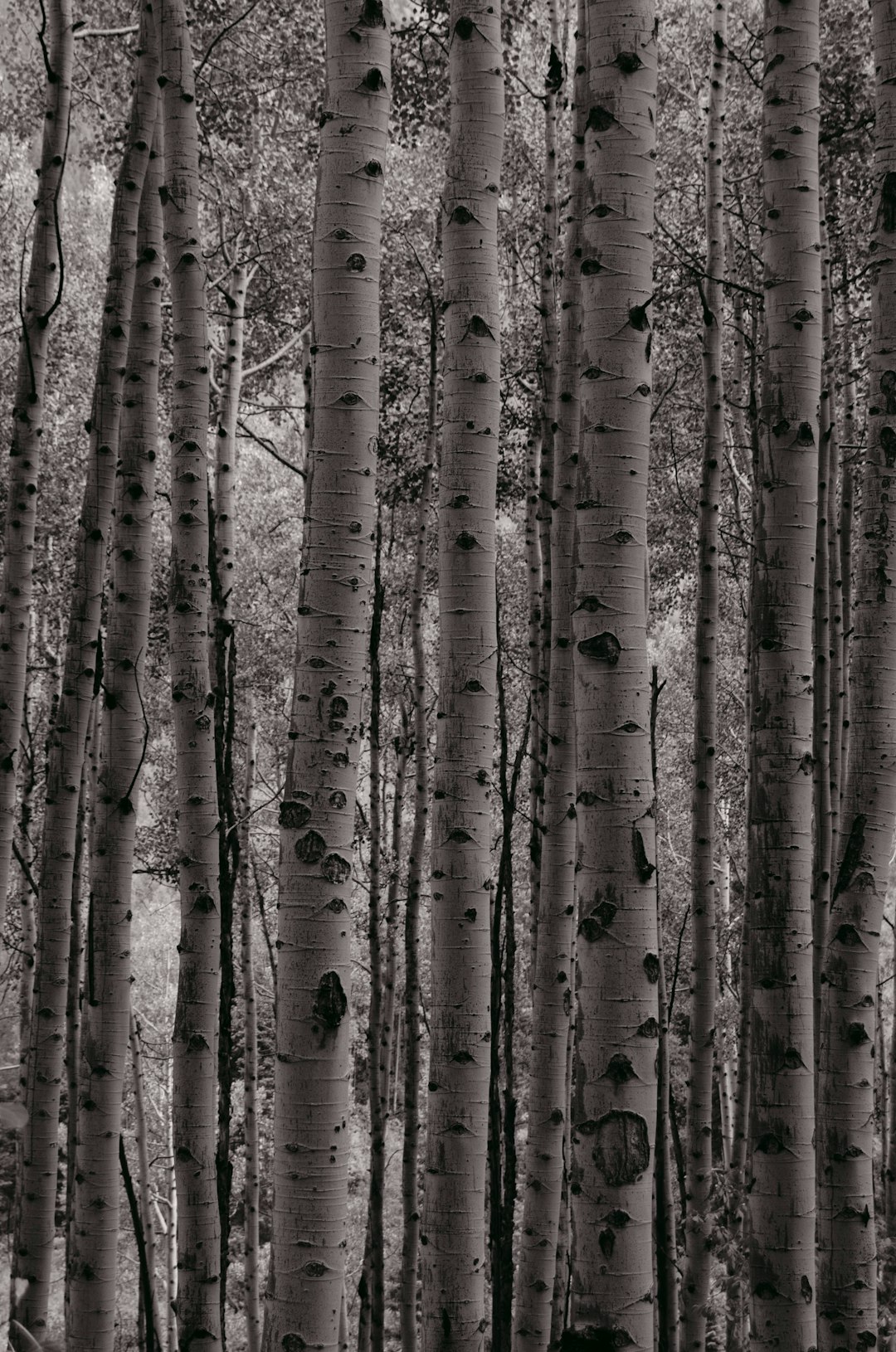
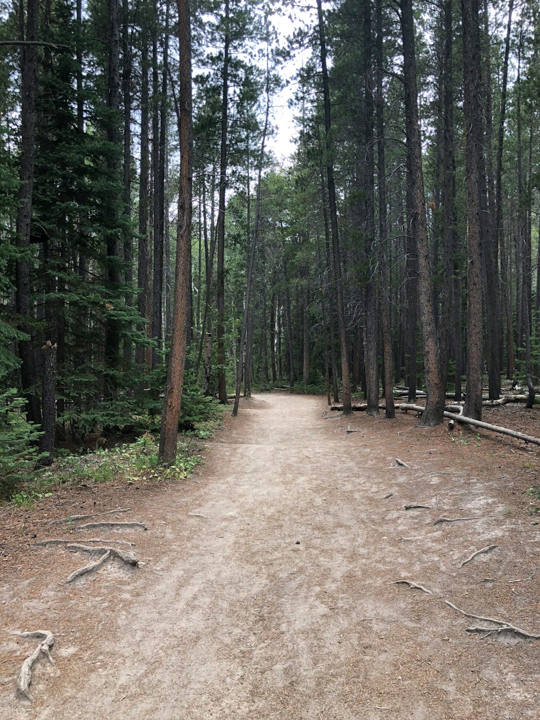
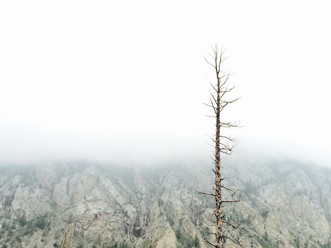
The Best Forest Photo Spots around Shrine Pass in United States
Explore Forest pictures of Shrine Pass with the travel spots on a map
13 Forest Spots of Shrine Pass on a Map
Pictures of Forest on the interacive map of Shrine Pass
Forest Spots and Pictures around Shrine Pass
Discover popular destinations in Shrine Pass with their travel guides
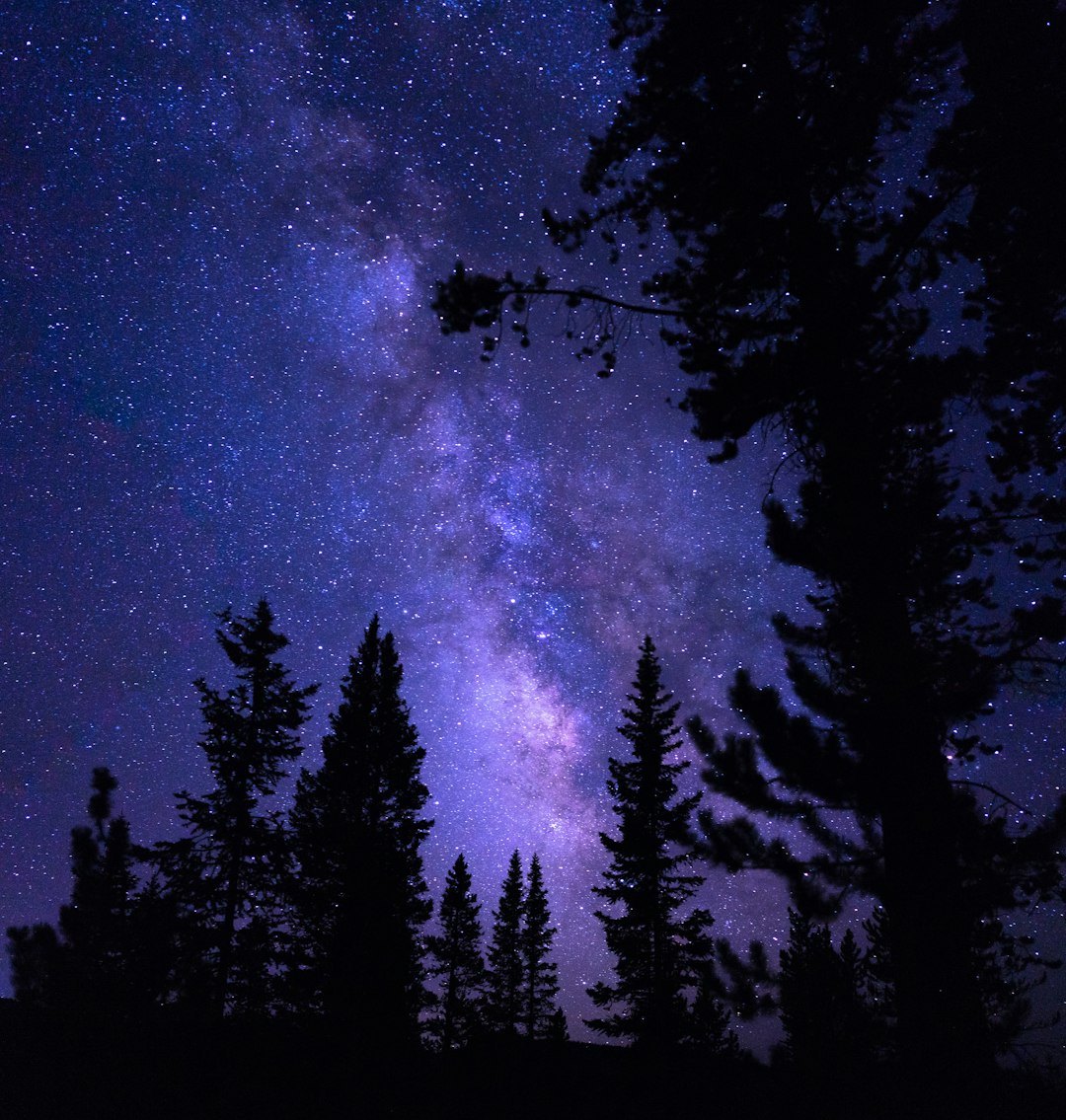
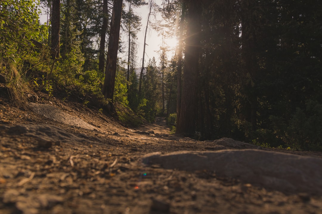
Shrine Pass
Read the Travel guide View on Google Maps
Copper Mountain
9 km away from Shrine Pass
Read the Travel guide View on Google Maps
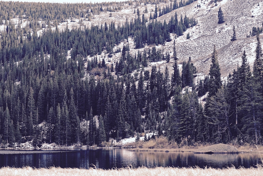
White River National Forest
20 km away from Shrine Pass
Read the Travel guide View on Google Maps
Beaver Creek Resort
24 km away from Shrine Pass
Read the Travel guide View on Google Maps
Breckenridge
25 km away from Shrine Pass
Read the Travel guide View on Google Maps
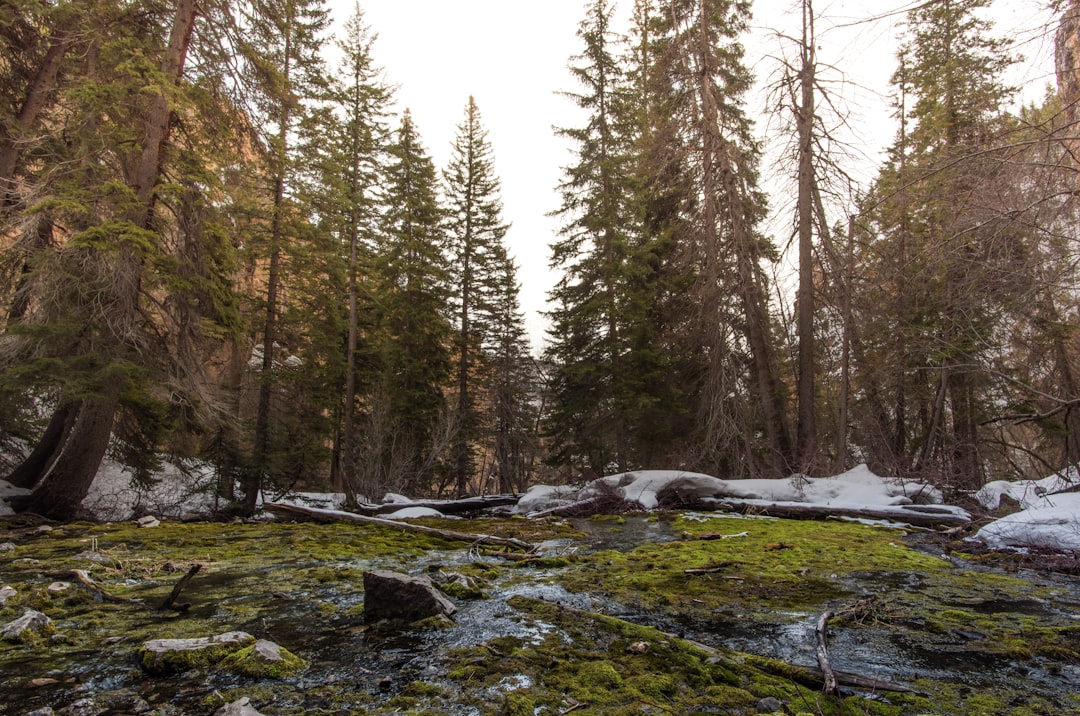
Lower Cataract Lake
32 km away from Shrine Pass
Read the Travel guide View on Google Maps
Colorado
39 km away from Shrine Pass
Read the Travel guide View on Google Maps
Eldora
73 km away from Shrine Pass
Read the Travel guide View on Google Maps
Glenwood Springs
77 km away from Shrine Pass
Read the Travel guide View on Google Maps
Hanging Lake
82 km away from Shrine Pass
Read the Travel guide View on Google Maps
Maroon Bells
83 km away from Shrine Pass
Read the Travel guide View on Google Maps
Rocky Mountain National Park
93 km away from Shrine Pass
Read the Travel guide View on Google Maps
Boulder
98 km away from Shrine Pass
Read the Travel guide View on Google Maps

Book your Travel Experience in Shrine Pass
Discover the best tours and activities in Shrine Pass and book your travel experience today with our booking partners
Learn More about Shrine Pass
Find Hotels in Shrine Pass
Discover the best hotels around Shrine Pass, United States and book your stay today with our booking partner booking.com